
Grant Township topographic map
Interactive map
Click on the map to display elevation.
About this map
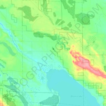
Name: Grant Township topographic map, elevation, terrain.
Location: Grant Township, Cheboygan County, Michigan, United States (45.45212 -84.38939 45.59987 -84.24810)
Average elevation: 207 m
Minimum elevation: 179 m
Maximum elevation: 288 m