
Useras topographic map
Interactive map
Click on the map to display elevation.
About this map
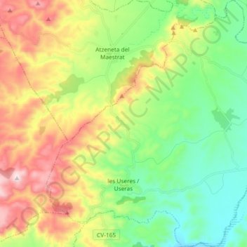
Name: Useras topographic map, elevation, terrain.
Location: Useras, l'Alcalatén, Castellón, Comunidad Valenciana, España (40.12937 -0.21012 40.24040 -0.07615)
Average elevation: 449 m
Minimum elevation: 198 m
Maximum elevation: 869 m