
Oude Zederik topographic map
Interactive map
Click on the map to display elevation.
About this map
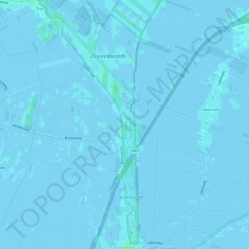
Name: Oude Zederik topographic map, elevation, terrain.
Location: Oude Zederik, Lexmond, Vijfheerenlanden, Utrecht, Nederland (51.92108 4.97669 51.95751 5.00039)
Average elevation: 0 m
Minimum elevation: -4 m
Maximum elevation: 4 m
Other topographic maps
Click on a map to view its topography, its elevation and its terrain.