
通靈大峽谷 topographic map
Interactive map
Click on the map to display elevation.
About this map
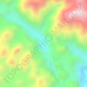
Name: 通靈大峽谷 topographic map, elevation, terrain.
Location: 通靈大峽谷, 靖西市, 百色市, 广西壮族自治区, 中国 (23.02627 106.64843 23.02637 106.64853)
Average elevation: 626 m
Minimum elevation: 336 m
Maximum elevation: 990 m
Other topographic maps
Click on a map to view its topography, its elevation and its terrain.