
Zand topographic map
Interactive map
Click on the map to display elevation.
About this map
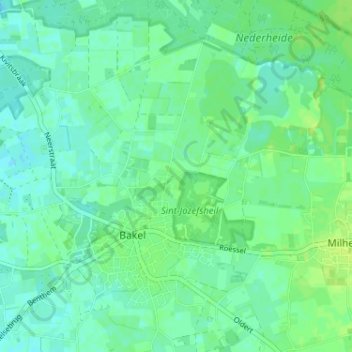
Name: Zand topographic map, elevation, terrain.
Average elevation: 23 m
Minimum elevation: 17 m
Maximum elevation: 30 m
Other topographic maps
Click on a map to view its topography, its elevation and its terrain.
Grotel
Nederland > Noord-Brabant > Bakel > Grotel
Grotel, Bakel, Gemert-Bakel, Noord-Brabant, Nederland, 5761, Nederland
Average elevation: 18 m