
Honeymoon Bay topographic map
Interactive map
Click on the map to display elevation.
About this map
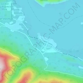
Name: Honeymoon Bay topographic map, elevation, terrain.
Average elevation: 230 m
Minimum elevation: 156 m
Maximum elevation: 694 m
Other topographic maps
Click on a map to view its topography, its elevation and its terrain.
Nitinat Lake
Canada > British Columbia > Cowichan Valley Regional District > Area F (Cowichan Lake South / Skutz Falls)
Nitinat Lake, Area F (Cowichan Lake South / Skutz Falls), Cowichan Valley Regional District, British Columbia, Canada
Average elevation: 268 m