
Pajar topographic map
Interactive map
Click on the map to display elevation.
About this map
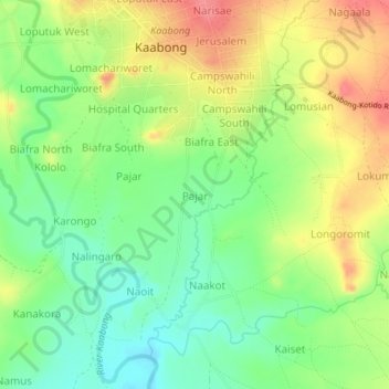
Name: Pajar topographic map, elevation, terrain.
Location: Pajar, Kaabong, Northern Region, Uganda (3.47400 34.12105 3.51400 34.16105)
Average elevation: 1,514 m
Minimum elevation: 1,479 m
Maximum elevation: 1,558 m
Other topographic maps
Click on a map to view its topography, its elevation and its terrain.