
Leman topographic map
Interactive map
Click on the map to display elevation.
About this map
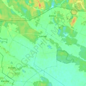
Name: Leman topographic map, elevation, terrain.
Location: Leman, gmina Turośl, powiat kolneński, Podlachie, Pologne (53.43712 21.59764 53.48541 21.72239)
Average elevation: 114 m
Minimum elevation: 104 m
Maximum elevation: 136 m
Other topographic maps
Click on a map to view its topography, its elevation and its terrain.
Kolno
Pologne > Podlachie > powiat kolneński > Kolno
Kolno, powiat kolneński, Podlachie, 18-500, Pologne
Average elevation: 128 m