
Branyan topographic map
Interactive map
Click on the map to display elevation.
About this map
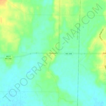
Name: Branyan topographic map, elevation, terrain.
Location: Branyan, Union County, Mississippi, 38824:38828, USA (34.43149 -88.82117 34.47149 -88.78117)
Average elevation: 111 m
Minimum elevation: 99 m
Maximum elevation: 130 m