
Pur topographic map
Interactive map
Click on the map to display elevation.
About this map
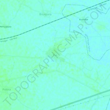
Name: Pur topographic map, elevation, terrain.
Location: Pur, Bhind Tahsil, Bhind, Madhya Pradesh, Indien (26.53717 78.70213 26.57717 78.74213)
Average elevation: 153 m
Minimum elevation: 150 m
Maximum elevation: 156 m