
Lac de Gras topographic map
Interactive map
Click on the map to display elevation.
About this map
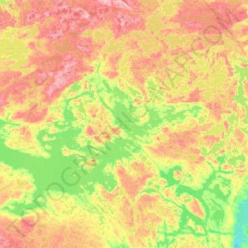
Name: Lac de Gras topographic map, elevation, terrain.
Average elevation: 445 m
Minimum elevation: 395 m
Maximum elevation: 521 m
Other topographic maps
Click on a map to view its topography, its elevation and its terrain.
Yellowknife
Canada > Northwest Territories > North Slave Region
Yellowknife, North Slave Region, Northwest Territories, Canada
Average elevation: 185 m
Behchokǫ̀
Canada > Northwest Territories > North Slave Region
Behchokǫ̀, North Slave Region, Northwest Territories, X0E 0Y0, Canada
Average elevation: 169 m