
Meeker County topographic map
Interactive map
Click on the map to display elevation.
About this map
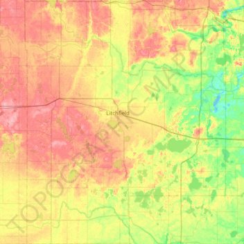
Name: Meeker County topographic map, elevation, terrain.
Location: Meeker County, Minnesota, VS (44.89293 -94.76214 45.32720 -94.25438)
Average elevation: 342 m
Minimum elevation: 303 m
Maximum elevation: 386 m
Other topographic maps
Click on a map to view its topography, its elevation and its terrain.