
Kaituna River topographic map
Interactive map
Click on the map to display elevation.
About this map
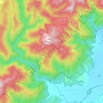
Name: Kaituna River topographic map, elevation, terrain.
Location: Kaituna River, Tasman District, Tasman, New Zealand (-40.72533 172.54979 -40.67224 172.61790)
Average elevation: 263 m
Minimum elevation: 13 m
Maximum elevation: 618 m