
Smeltertown topographic map
Interactive map
Click on the map to display elevation.
About this map
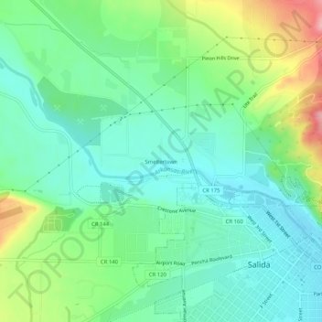
Name: Smeltertown topographic map, elevation, terrain.
Location: Smeltertown, Chaffee County, Colorado, VS (38.52750 -106.03446 38.56750 -105.99446)
Average elevation: 2,192 m
Minimum elevation: 2,147 m
Maximum elevation: 2,297 m