
Entre Ríos topographic map
Interactive map
Click on the map to display elevation.
About this map
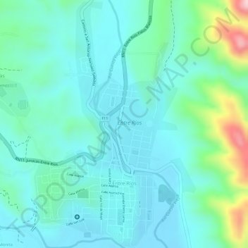
Name: Entre Ríos topographic map, elevation, terrain.
Location: Entre Ríos, Provincia Burnet O'Connor, Tarija, Bolivia (-21.53274 -64.18259 -21.50606 -64.16360)
Average elevation: 1,258 m
Minimum elevation: 1,206 m
Maximum elevation: 1,441 m