
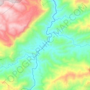
Rio Aguán topographic map
Interactive map
Click on the map to display elevation.
About this map
Name: Rio Aguán topographic map, elevation, terrain.
Location: Rio Aguán, Yoro, Honduras (15.07723 -86.88734 15.18514 -86.85519)
Average elevation: 926 m
Minimum elevation: 466 m
Maximum elevation: 1,745 m