
Calça Perra topographic map
Interactive map
Click on the map to display elevation.
About this map
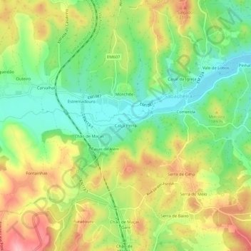
Name: Calça Perra topographic map, elevation, terrain.
Location: Calça Perra, Sabacheira, Tomar, Santarém, 2490-012, Portugal (39.65271 -8.51347 39.69271 -8.47347)
Average elevation: 152 m
Minimum elevation: 89 m
Maximum elevation: 232 m