Geolocate

Silvergate topographic map

Click on the map to display elevation.

About this map

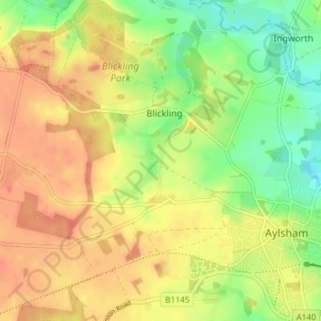
Name: Silvergate topographic map, elevation, terrain.

Location: Silvergate, Blickling, Broadland, Norfolk, England, NR11 6NN, United Kingdom (52.78395 1.20520 52.82395 1.24520)

Average elevation: 34 m

Minimum elevation: 8 m

Maximum elevation: 53 m

Other topographic maps

Click on a map to view its topography, its elevation and its terrain.

Blickling

United Kingdom > England > Norfolk > Broadland > Blickling

Average elevation: 29 m

Gear up for your next adventure:

🌬️Windbreaker Jackets - Wind protection jackets
👖Convertible Hiking Trousers - Zip-off legs to adapt to changing temperatures throughout the day
👟Lightweight Trail Runners - Agile footwear for fast movement over rugged Australian terrain
📟Satellite Messengers - Two-way satellite communication to stay in touch beyond the cellular grid
🔑Heavy Duty Carabiners - Secure gear to the outside of your pack for easy access

As an Amazon Associate, this site earns from qualifying purchases at no extra cost to you.