
Saignelégier topographic map
Interactive map
Click on the map to display elevation.
About this map
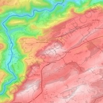
Name: Saignelégier topographic map, elevation, terrain.
Location: Saignelégier, District des Franches-Montagnes, Jura, Switzerland (47.22662 6.94066 47.30151 7.05867)
Average elevation: 862 m
Minimum elevation: 479 m
Maximum elevation: 1,099 m