
Bannister topographic map
Interactive map
Click on the map to display elevation.
About this map
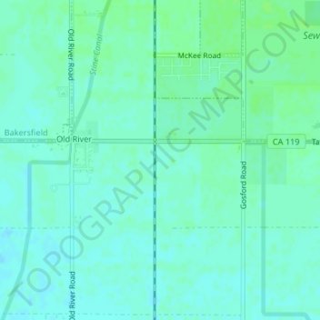
Name: Bannister topographic map, elevation, terrain.
Location: Bannister, Kern County, California, 93313, United States (35.25552 -119.11066 35.27552 -119.09066)
Average elevation: 104 m
Minimum elevation: 100 m
Maximum elevation: 108 m
Other topographic maps
Click on a map to view its topography, its elevation and its terrain.
Pentland
United States > California > Kern County
Pentland, Kern County, California, United States
Average elevation: 198 m
Rosedale
United States > California > Kern County
Rosedale, Kern County, CAL Fire Contract Counties, California, United States
Average elevation: 107 m
Tehachapi
United States > California > Kern County
Tehachapi, Kern County, California, 93561, United States
Average elevation: 1,414 m
Brown
United States > California > Kern County
Brown, Kern County, California, United States
Average elevation: 732 m
Mount Adelaide
United States > California > Kern County
Mount Adelaide, Kern County, California, United States
Average elevation: 841 m
Rosedale
United States > California > Kern County
Rosedale, Kern County, California, United States
Average elevation: 113 m