
河西堡镇 topographic map
Interactive map
Click on the map to display elevation.
About this map
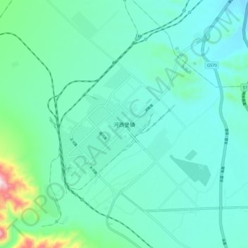
Name: 河西堡镇 topographic map, elevation, terrain.
Location: 河西堡镇, 永昌县, 金昌市, 甘肃省, 737100, 中国 (38.34138 102.04632 38.42138 102.12632)
Average elevation: 1,744 m
Minimum elevation: 1,653 m
Maximum elevation: 2,207 m
Other topographic maps
Click on a map to view its topography, its elevation and its terrain.