Geolocate

Zorbau topographic map

Click on the map to display elevation.

About this map

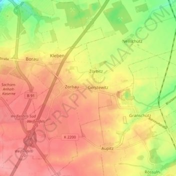
Name: Zorbau topographic map, elevation, terrain.

Location: Zorbau, Lützen, Burgenlandkreis, Sachsen-Anhalt, Deutschland (51.16610 12.00098 51.21656 12.06230)

Average elevation: 158 m

Minimum elevation: 104 m

Maximum elevation: 192 m

Other topographic maps

Click on a map to view its topography, its elevation and its terrain.

Gear up for your next adventure:

🥤Hydration Packs - Hydration systems for hiking
🪑Portable Backpacking Chairs - A comfortable seat for studying maps at the end of the day
🧊Insulated Stainless Steel Flasks - Keep water cold for 24 hours in the heat or coffee hot in the cold
🥾Heavy Duty Hiking Boots - Ankle-supporting boots for carrying heavy packs on steep contours
🎒Dry Bags - Waterproof bags for outdoor gear

As an Amazon Associate, this site earns from qualifying purchases at no extra cost to you.