Geolocate

Pleszew topographic map

Click on the map to display elevation.

About this map
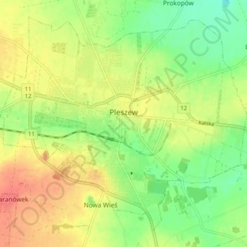
Name: Pleszew topographic map, elevation, terrain.

Location: Pleszew, gmina Pleszew, Pleszew County, Greater Poland Voivodeship, 63-300, Poland (51.87486 17.75061 51.91316 17.82226)

Average elevation: 126 m

Minimum elevation: 99 m

Maximum elevation: 153 m

Other topographic maps

Click on a map to view its topography, its elevation and its terrain.

Gear up for your next adventure:

👕UPF 50+ Sun Shirts - Essential protection against the harsh Australian sun during field work
🧺Waterproof Dry Sacks - Organize your pack and keep electronics safe from rain and river crossings
🎒Hiking Backpacks - Backpacks designed for hiking and trekking
🦘Outback Survival Gear - Essential gear for Australian outback
📻Handheld UHF Radios - Critical communication for groups in the Australian outback

As an Amazon Associate, this site earns from qualifying purchases at no extra cost to you.