
Château de Romefort topographic map
Interactive map
Click on the map to display elevation.
About this map
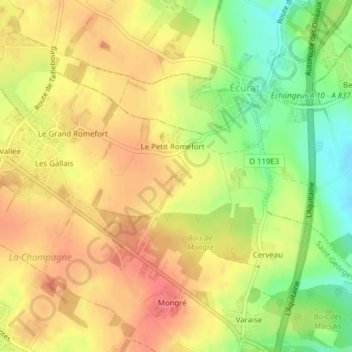
Name: Château de Romefort topographic map, elevation, terrain.
Average elevation: 55 m
Minimum elevation: 19 m
Maximum elevation: 79 m
Other topographic maps
Click on a map to view its topography, its elevation and its terrain.
Bois de Voyer
France > Nouvelle-Aquitaine > Saint-Georges-des-Coteaux
Bois de Voyer, Chemin de Mongré, Le Moulin de Razé, La Métairie, Saint-Georges-des-Coteaux, Saintes, Charente-Maritime, Nouvelle-Aquitaine, France métropolitaine, 17810, France
Average elevation: 59 m