Geolocate

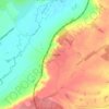
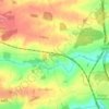
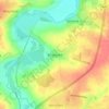
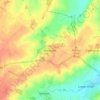
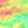
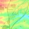
Brampton Ash topographic map

Click on the map to display elevation.

About this map

Name: Brampton Ash topographic map, elevation, terrain.

Location: Brampton Ash, North Northamptonshire, England, United Kingdom (52.45678 -0.86725 52.49965 -0.81967)

Average elevation: 117 m

Minimum elevation: 68 m

Maximum elevation: 161 m

Other topographic maps

Click on a map to view its topography, its elevation and its terrain.
Slade

United Kingdom > England > North Northamptonshire > Orton

Average elevation: 123 m

Corby

United Kingdom > England > North Northamptonshire

Average elevation: 103 m

Corby

United Kingdom > England > North Northamptonshire

Average elevation: 103 m

Corby

United Kingdom > England > North Northamptonshire

Average elevation: 103 m

Corby

United Kingdom > England > North Northamptonshire

Average elevation: 103 m

Gear up for your next adventure:

👖Convertible Hiking Trousers - Zip-off legs to adapt to changing temperatures throughout the day
⛺Lightweight Tents - Compact tents for backpacking
📖Australian Bush Survival Books - Local knowledge on finding water and surviving the outback
🎒Dry Bags - Waterproof bags for outdoor gear
🧺Waterproof Dry Sacks - Organize your pack and keep electronics safe from rain and river crossings

As an Amazon Associate, this site earns from qualifying purchases at no extra cost to you.