
Aymaña topographic map
Interactive map
Click on the map to display elevation.
About this map
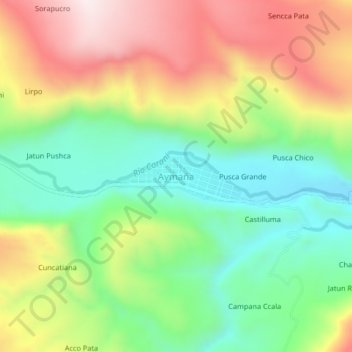
Name: Aymaña topographic map, elevation, terrain.
Location: Aymaña, Corani, Carabaya, Puno, Perú (-13.89158 -70.69217 -13.85158 -70.65217)
Average elevation: 4,396 m
Minimum elevation: 4,142 m
Maximum elevation: 4,740 m
Other topographic maps
Click on a map to view its topography, its elevation and its terrain.