
Greenfields topographic map
Interactive map
Click on the map to display elevation.
About this map
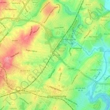
Name: Greenfields topographic map, elevation, terrain.
Location: Greenfields, Charlottesville, Virginia, 22901, United States (38.02431 -78.49751 38.06431 -78.45751)
Average elevation: 136 m
Minimum elevation: 89 m
Maximum elevation: 185 m