
Umeå topographic map
Interactive map
Click on the map to display elevation.
About this map
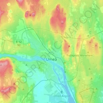
Name: Umeå topographic map, elevation, terrain.
Location: Umeå, Västerbotten, Comté de Västerbotten, Norrland, Suède (63.78556 20.14189 63.87096 20.38535)
Average elevation: 31 m
Minimum elevation: -9 m
Maximum elevation: 98 m