Geolocate

Ballingarry topographic map

Click on the map to display elevation.

About this map

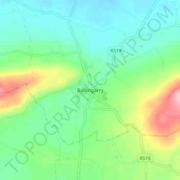
Name: Ballingarry topographic map, elevation, terrain.

Location: Ballingarry, County Limerick, Munster, Ireland (52.45380 -8.88335 52.49380 -8.84335)

Average elevation: 97 m

Minimum elevation: 44 m

Maximum elevation: 229 m

Gear up for your next adventure:

🥾Hiking Boots - Durable hiking boots for trails and rough terrain
🧰Survival Kits - Essential survival gear
🧺Fast-Dry Microfiber Towels - Large towels that pack down to the size of an orange
🛠️Outdoor Repair Kits - Gear repair kits
🦟Insect Repellent - Protection against insects

As an Amazon Associate, this site earns from qualifying purchases at no extra cost to you.