
Burgrain topographic map
Interactive map
Click on the map to display elevation.
About this map
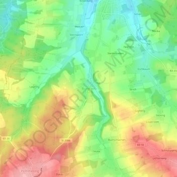
Name: Burgrain topographic map, elevation, terrain.
Location: Burgrain, Isen, Landkreis Erding, Bayern, 84424, Deutschland (48.16860 12.02873 48.20860 12.06873)
Average elevation: 562 m
Minimum elevation: 504 m
Maximum elevation: 630 m