
Culebras topographic map
Interactive map
Click on the map to display elevation.
About this map
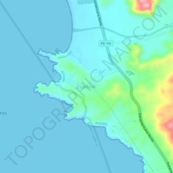
Name: Culebras topographic map, elevation, terrain.
Location: Culebras, Provincia de Huarmey, Áncash, Perú (-9.97017 -78.24209 -9.93017 -78.20209)
Average elevation: 20 m
Minimum elevation: 0 m
Maximum elevation: 159 m