
dhan topographic map
Interactive map
Click on the map to display elevation.
About this map
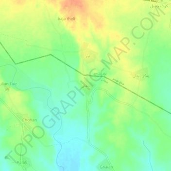
Name: dhan topographic map, elevation, terrain.
Location: dhan, Gujrāt District, Pendjab, Pakistan (32.81161 74.26110 32.85161 74.30110)
Average elevation: 306 m
Minimum elevation: 288 m
Maximum elevation: 327 m