
Ider topographic map
Interactive map
Click on the map to display elevation.
About this map
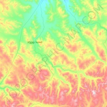
Name: Ider topographic map, elevation, terrain.
Location: Ider, Zawchan, Mongolei (47.80368 97.04915 48.48679 98.07295)
Average elevation: 2,367 m
Minimum elevation: 1,836 m
Maximum elevation: 3,525 m