
Niedersprockhövel topographic map
Interactive map
Click on the map to display elevation.
About this map
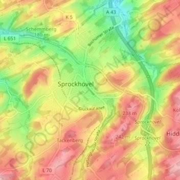
Name: Niedersprockhövel topographic map, elevation, terrain.
Average elevation: 184 m
Minimum elevation: 108 m
Maximum elevation: 248 m
Other topographic maps
Click on a map to view its topography, its elevation and its terrain.
Gennebreck
Deutschland > Nordrhein-Westfalen > Sprockhövel > Gennebreck
Gennebreck, Sprockhövel, Ennepe-Ruhr-Kreis, Nordrhein-Westfalen, 42281, Deutschland
Average elevation: 253 m