
Thompson Dam topographic map
Interactive map
Click on the map to display elevation.
About this map
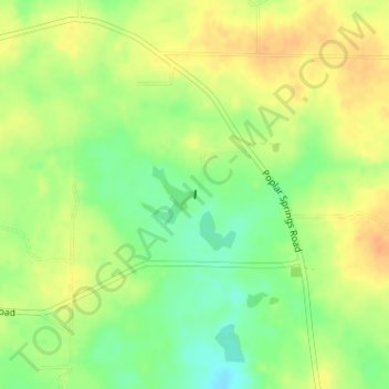
Name: Thompson Dam topographic map, elevation, terrain.
Location: Thompson Dam, Dooly County, Georgia, United States (32.25778 -83.87346 32.25830 -83.87340)
Average elevation: 123 m
Minimum elevation: 102 m
Maximum elevation: 139 m