
Arfrade topographic map
Interactive map
Click on the map to display elevation.
About this map
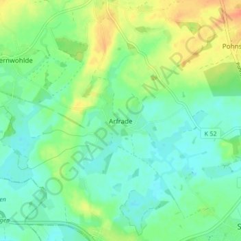
Name: Arfrade topographic map, elevation, terrain.
Average elevation: 24 m
Minimum elevation: 10 m
Maximum elevation: 49 m
Other topographic maps
Click on a map to view its topography, its elevation and its terrain.
Eckhorst
Deutschland > Schleswig-Holstein > Ostholstein > Stockelsdorf
Eckhorst, Stockelsdorf, Ostholstein, Schleswig-Holstein, 23617, Deutschland
Average elevation: 20 m