
وذرف الشمالية topographic map
Interactive map
Click on the map to display elevation.
About this map
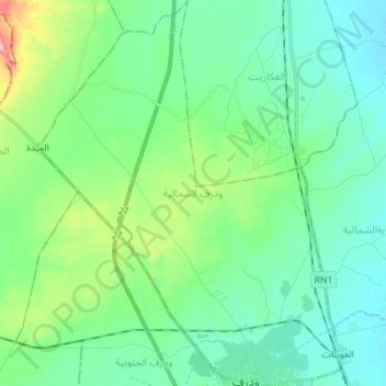
Name: وذرف الشمالية topographic map, elevation, terrain.
Location: وذرف الشمالية, معتمدية المطوية, Gabès, 6052, Tunisia (33.98262 9.89127 34.09991 10.00274)
Average elevation: 45 m
Minimum elevation: 3 m
Maximum elevation: 197 m
Other topographic maps
Click on a map to view its topography, its elevation and its terrain.