
Gråsten topographic map
Interactive map
Click on the map to display elevation.
About this map
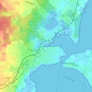
Name: Gråsten topographic map, elevation, terrain.
Location: Gråsten, Sønderborg Kommune, Zuid-Denemarken, 6300, Denemarken (54.89402 9.56663 54.93402 9.60663)
Average elevation: 14 m
Minimum elevation: -4 m
Maximum elevation: 61 m