
Chupa topographic map
Interactive map
Click on the map to display elevation.
About this map
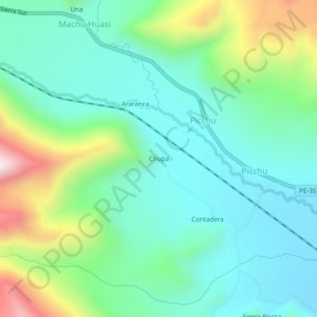
Name: Chupa topographic map, elevation, terrain.
Location: Chupa, Melgar, Puno, Perú (-14.53428 -70.95043 -14.49428 -70.91043)
Average elevation: 4,262 m
Minimum elevation: 4,075 m
Maximum elevation: 4,770 m