
Port Chalmers topographic map
Interactive map
Click on the map to display elevation.
About this map
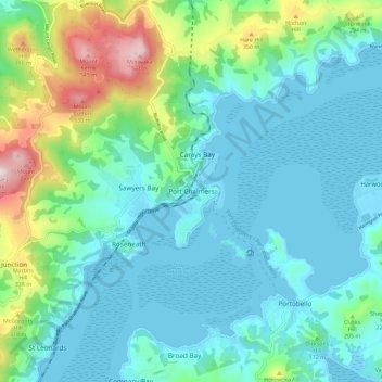
Name: Port Chalmers topographic map, elevation, terrain.
Location: Port Chalmers, Dunedin City, Otago, 9023, New Zealand (-45.85619 170.57976 -45.77619 170.65976)
Average elevation: 118 m
Minimum elevation: -2 m
Maximum elevation: 578 m