
Ustaoset topographic map
Interactive map
Click on the map to display elevation.
About this map
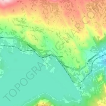
Name: Ustaoset topographic map, elevation, terrain.
Location: Ustaoset, Hol, Buskerud, 3593, Norway (60.47969 8.02040 60.51969 8.06040)
Average elevation: 1,038 m
Minimum elevation: 949 m
Maximum elevation: 1,217 m