
Ludgershall topographic map
Interactive map
Click on the map to display elevation.
About this map
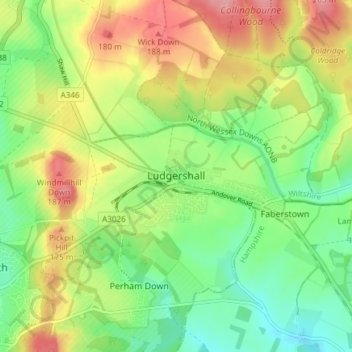
Name: Ludgershall topographic map, elevation, terrain.
Location: Ludgershall, Wiltshire, England, United Kingdom (51.24136 -1.65128 51.27238 -1.57659)
Average elevation: 137 m
Minimum elevation: 93 m
Maximum elevation: 196 m