
Pine River topographic map
Interactive map
Click on the map to display elevation.
About this map
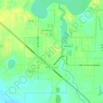
Name: Pine River topographic map, elevation, terrain.
Location: Pine River, Cass County, Minnesota, 56474, United States (46.71130 -94.41458 46.73299 -94.37702)
Average elevation: 395 m
Minimum elevation: 385 m
Maximum elevation: 404 m