
Puerto Limon topographic map
Interactive map
Click on the map to display elevation.
About this map
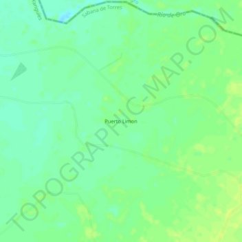
Name: Puerto Limon topographic map, elevation, terrain.
Location: Puerto Limon, Sabana de Torres, Yariguíes, Santander, Colômbia (7.46792 -73.51988 7.50792 -73.47988)
Average elevation: 87 m
Minimum elevation: 78 m
Maximum elevation: 94 m