
La Grande Chaloupe topographic map
Interactive map
Click on the map to display elevation.
About this map
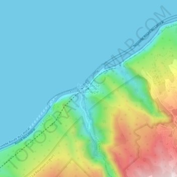
Name: La Grande Chaloupe topographic map, elevation, terrain.
Location: La Grande Chaloupe, Saint-Denis, La Réunion, 97417, France (-20.91616 55.35729 -20.87616 55.39729)
Average elevation: 142 m
Minimum elevation: -3 m
Maximum elevation: 584 m