
Kohlhagens Beach topographic map
Interactive map
Click on the map to display elevation.
About this map
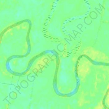
Name: Kohlhagens Beach topographic map, elevation, terrain.
Average elevation: 174 m
Minimum elevation: 165 m
Maximum elevation: 182 m
New South Wales trails, hiking, mountain biking, running and outdoor activities
Other topographic maps
Click on a map to view its topography, its elevation and its terrain.
Charles Sturt University
Australia > New South Wales > Wagga Wagga City Council
Average elevation: 225 m
Uranquinty
Australia > New South Wales > Wagga Wagga City Council > Uranquinty
Average elevation: 245 m