
Linton topographic map
Interactive map
Click on the map to display elevation.
About this map
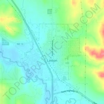
Name: Linton topographic map, elevation, terrain.
Location: Linton, Emmons County, North Dakota, 58552, United States (46.26154 -100.24486 46.27620 -100.22207)
Average elevation: 540 m
Minimum elevation: 518 m
Maximum elevation: 594 m