
Escusa topographic map
Interactive map
Click on the map to display elevation.
About this map
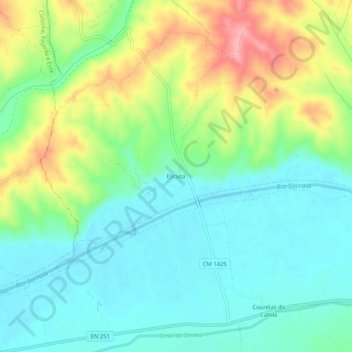
Name: Escusa topographic map, elevation, terrain.
Location: Escusa, Couço, Coruche, Santarém, Region Alentejo, Portugal (38.99384 -8.37691 39.03384 -8.33691)
Average elevation: 59 m
Minimum elevation: 19 m
Maximum elevation: 139 m