Geolocate

Tucabia topographic map

Click on the map to display elevation.

About this map
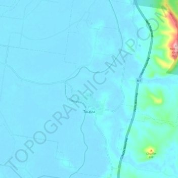
Name: Tucabia topographic map, elevation, terrain.

Location: Tucabia, Clarence Valley Council, New South Wales, 2462, Australia (-29.70204 153.09232 -29.61163 153.16176)

Average elevation: 14 m

Minimum elevation: -2 m

Maximum elevation: 242 m

New South Wales trails, hiking, mountain biking, running and outdoor activities

Gear up for your next adventure:

🧼Biodegradable Outdoor Soap - Clean gear and yourself without harming the local ecosystem
🧦Merino Wool Hiking Socks - Moisture-wicking socks to prevent blisters during long topographic surveys
🔥Ferrocerium Rod Fire Starters - Reliable fire lighting in wet or windy conditions without matches
🥤Hydration Packs - Hydration systems for hiking
📍Handheld GPS - GPS devices for hiking and navigation

As an Amazon Associate, this site earns from qualifying purchases at no extra cost to you.