
Thank you for supporting this site ❤️
Make a donation
Make a donation
Gear up for your next adventure:
As an Amazon Associate, this site earns from qualifying purchases at no extra cost to you.
Derico topographic map
Click on the map to display elevation.
Thank you for supporting this site ❤️
Make a donation
Make a donation
Gear up for your next adventure:
As an Amazon Associate, this site earns from qualifying purchases at no extra cost to you.
About this map
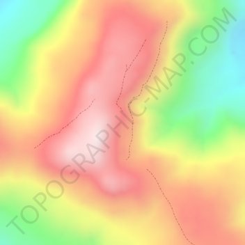
Name: Derico topographic map, elevation, terrain.
Location: Derico, Toke Kutaye, West Shewa, Ethiopia (8.92333 37.59000 8.94333 37.61000)
Average elevation: 2,869 m
Minimum elevation: 2,550 m
Maximum elevation: 3,086 m
Thank you for supporting this site ❤️
Make a donation
Make a donation
Gear up for your next adventure:
As an Amazon Associate, this site earns from qualifying purchases at no extra cost to you.